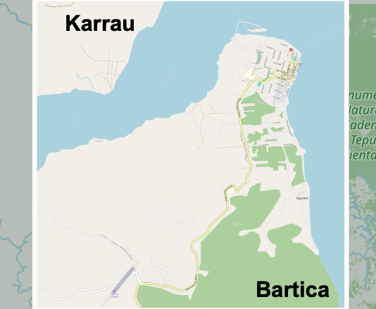
Bartica Guyana
I’m really learning some geography. I had thought Guyana was in Africa, but it is in South America. HUGE territory!
Free Custom Territory Map Files for JW Congregations to Print
I’m really learning some geography. I had thought Guyana was in Africa, but it is in South America. HUGE territory!
This was a quick job!
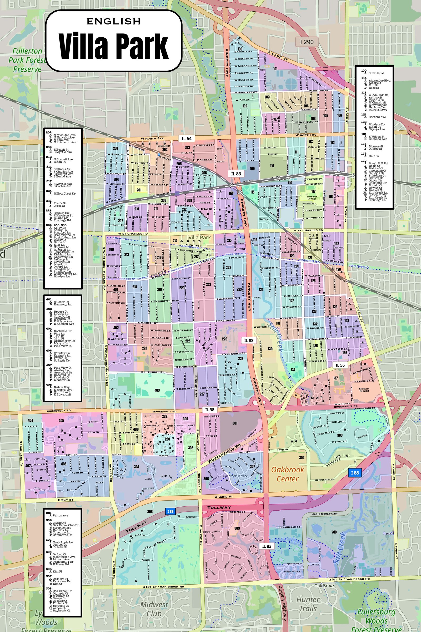
VILLA PARK IL
This took some time.
Small territory but such an improvement for them! I don’t know how the brothers were able to work these territories. They wanted cards at 8.5 x 11″. I used the OpenStreetMap.org service for the background.

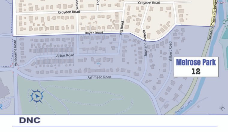
south woodlands lusaka zambia
This background was from OpenStreetMap.org They have grouped their territories by area.
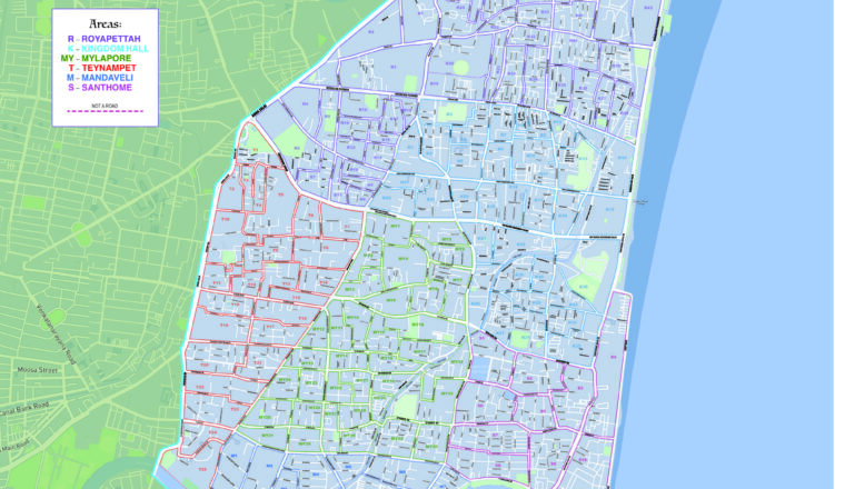
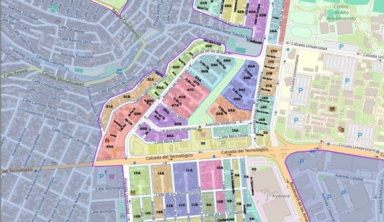
Chennai Royapettah india
In the final wall map I used Mapbox Studio background. I have finished the individual territory cards and altered the Wall map after seeing each one closer. This was the preliminary Wall map I used…
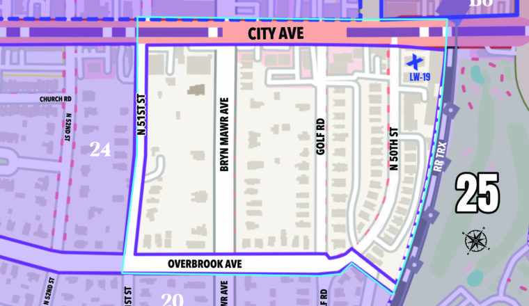
Wynnefield territory card
Still working on this one. They want some adjustments on the cards.
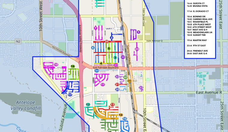
RANCHO VISTA CA SPANISH
This congregation was different. They use Territory Helper and Territory Assistant, but they need a clear detailed map for their wall. Because they choose their territory in certain street sections, I used colored streets to…
back of territory card
This congregation is currently dividing many of their territories. Now we are making some 8.5 x 11 inch PDFs for the territory cards for the publishers. They use Territory Helper but it doesn’t seem to…
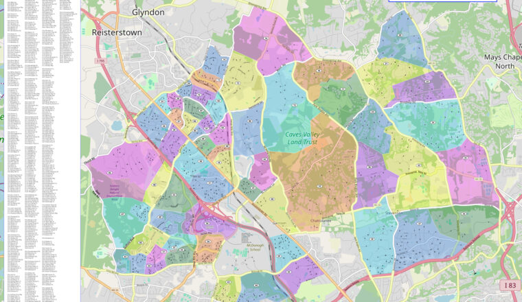
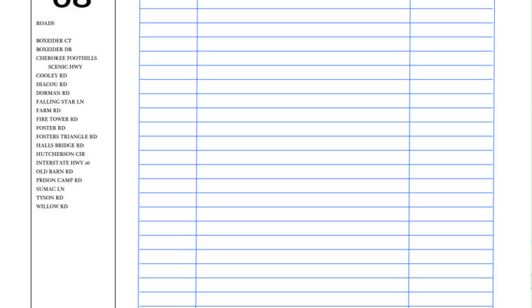
Owings Mills Maryland
A lot of roads! They wanted more road names and the names would have been so teeny that they would have been difficult to read. As a solution, I put a road legend on the…