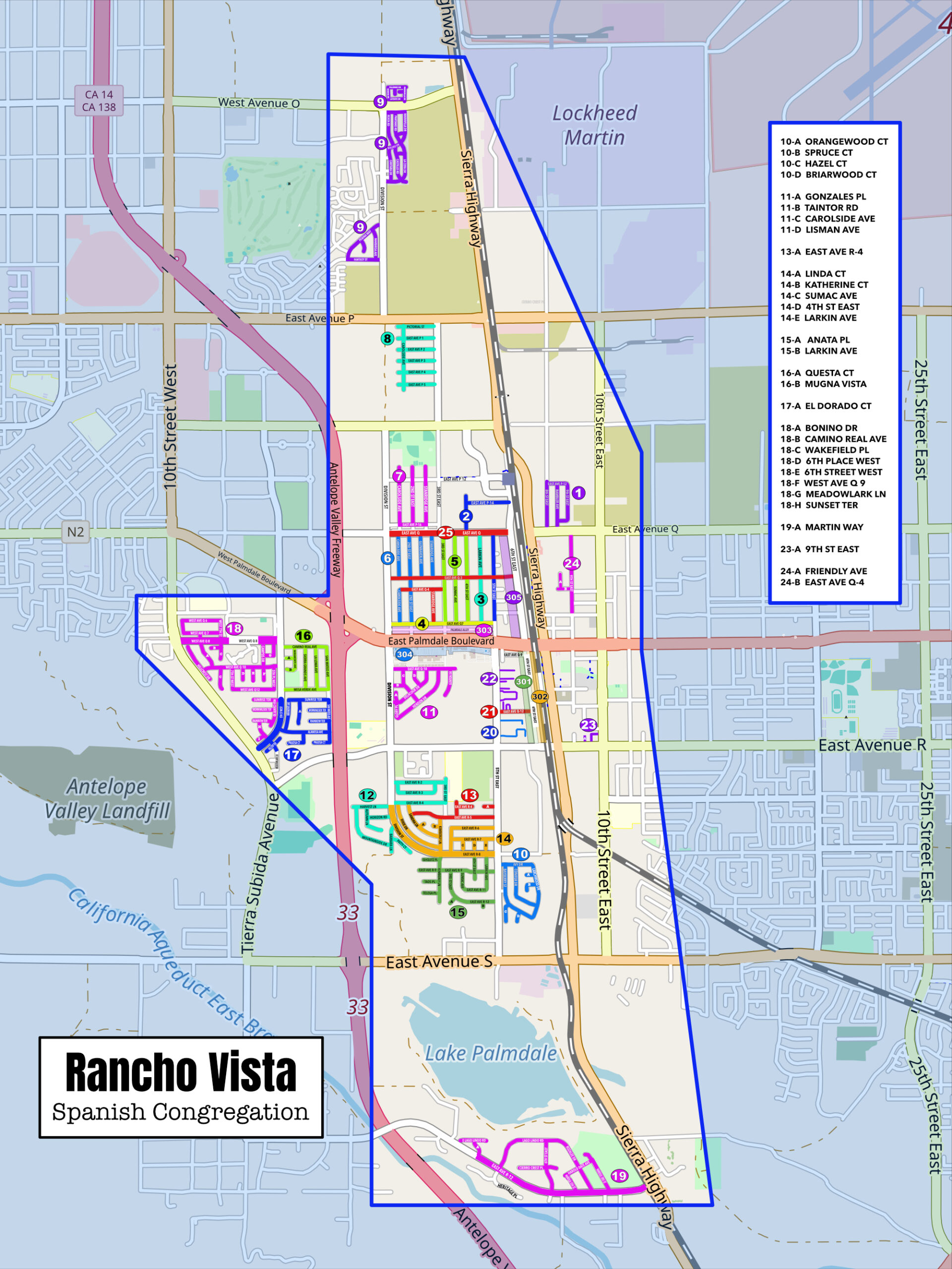
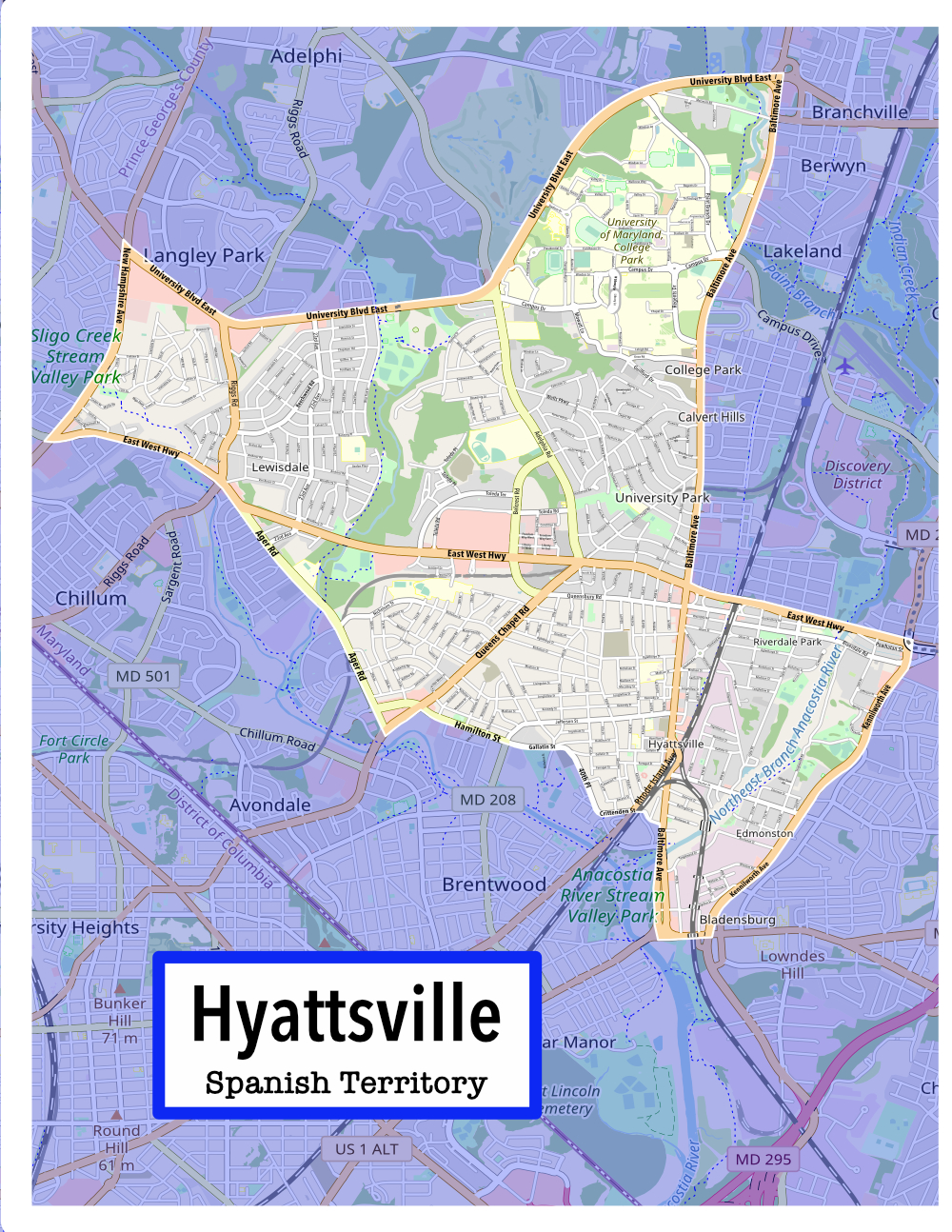
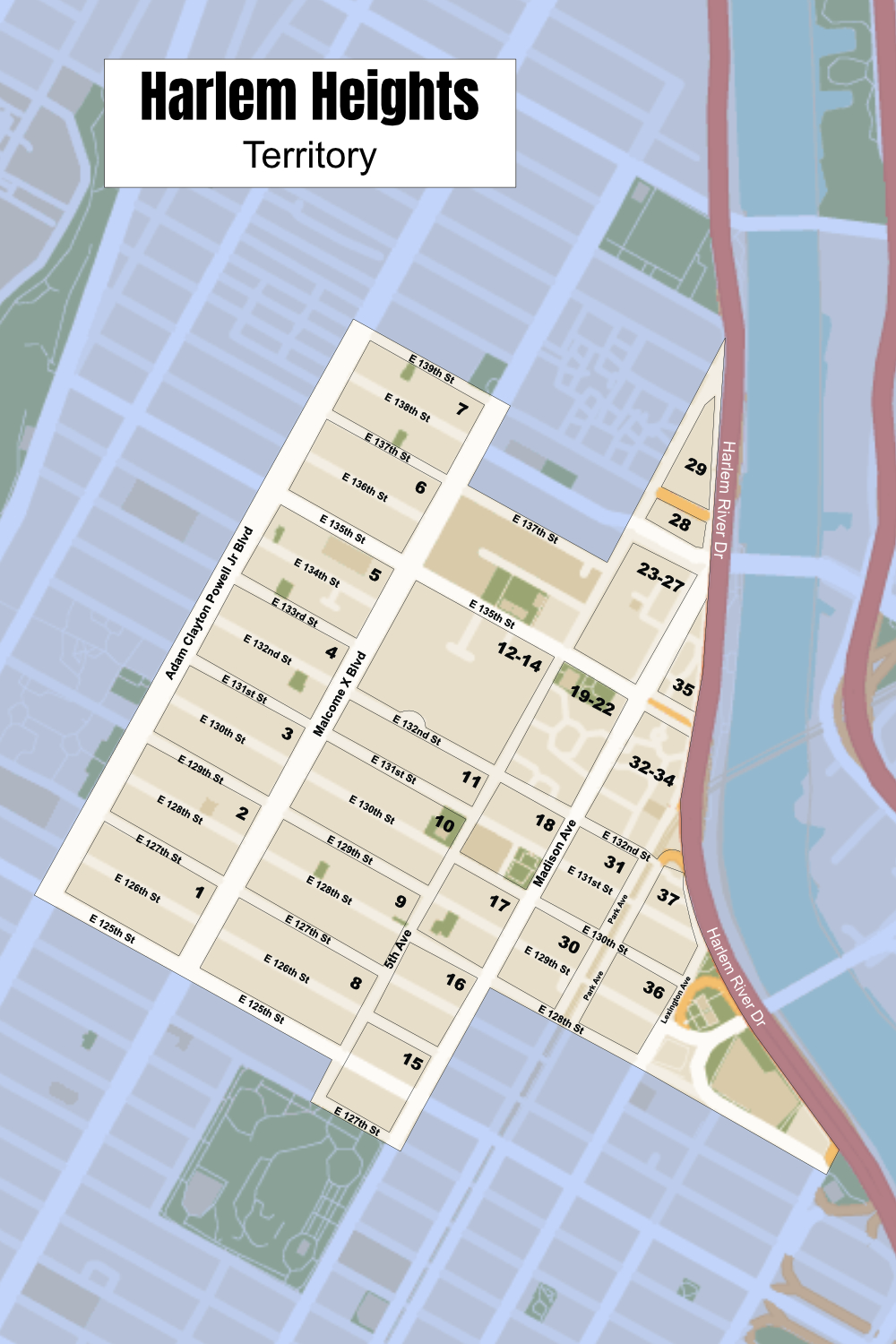
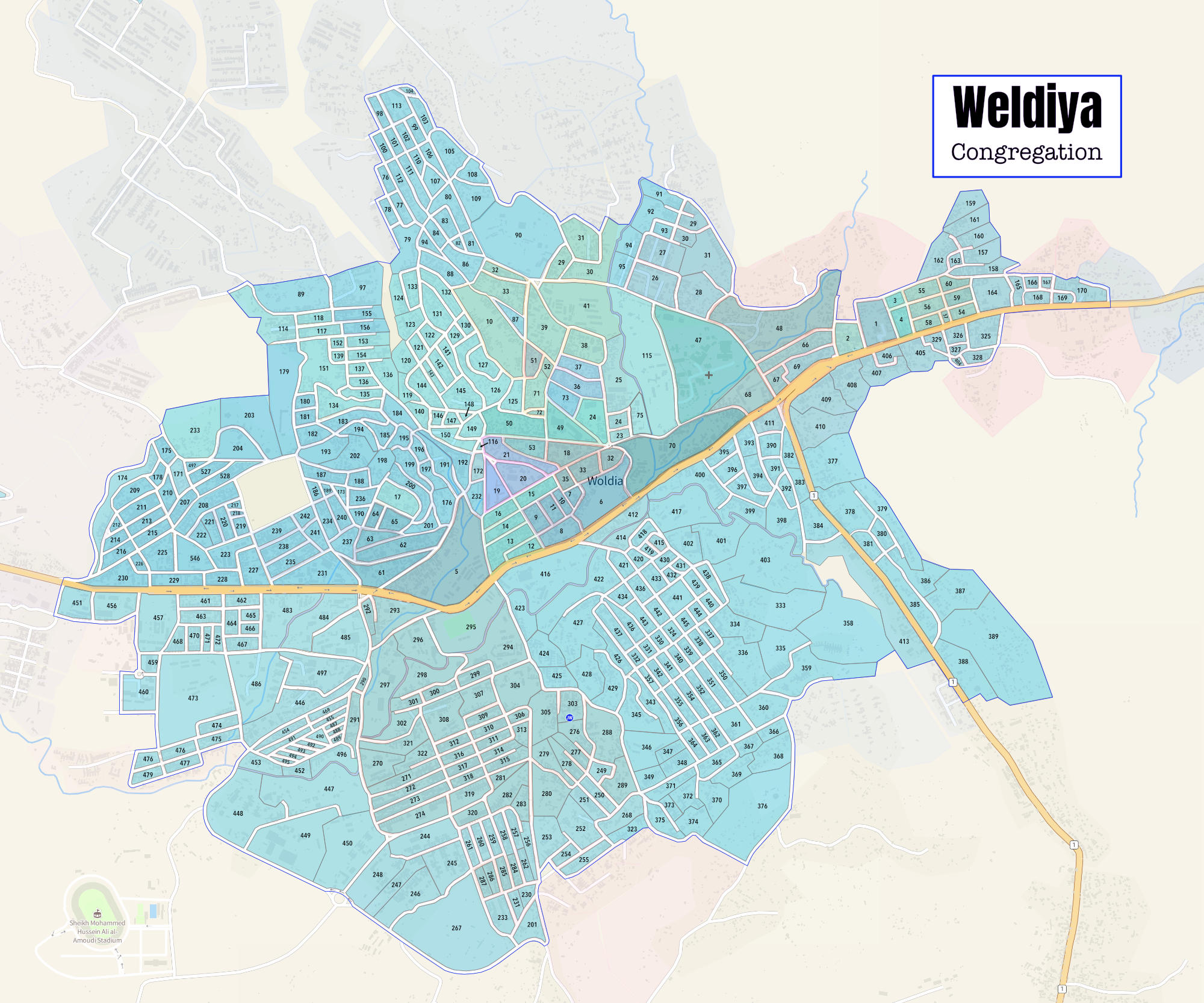
This congregation was different. They use Territory Helper and Territory Assistant, but they need a clear detailed map for their wall.
Because they choose their territory in certain street sections, I used colored streets to indicate the different territories. I used the OpenStreetMap.org download as a SVG. I edited, added lines, names, and numbers with Affinity Publisher or you can use Affinity Designer. Affinity Publisher also allows me to do a number of territory cards.


