Easy to Read Maps
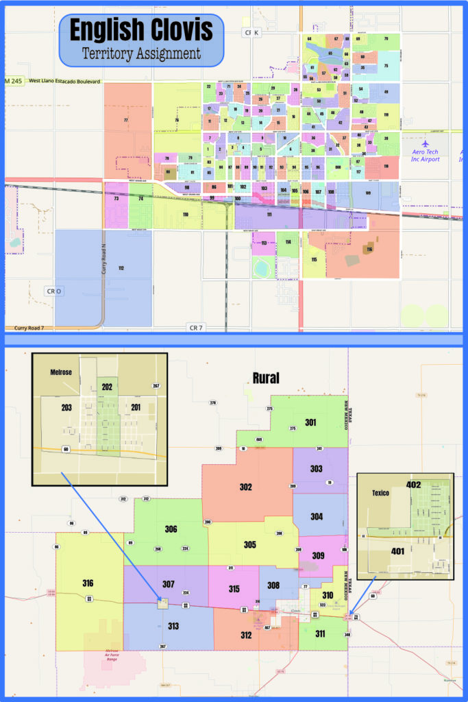
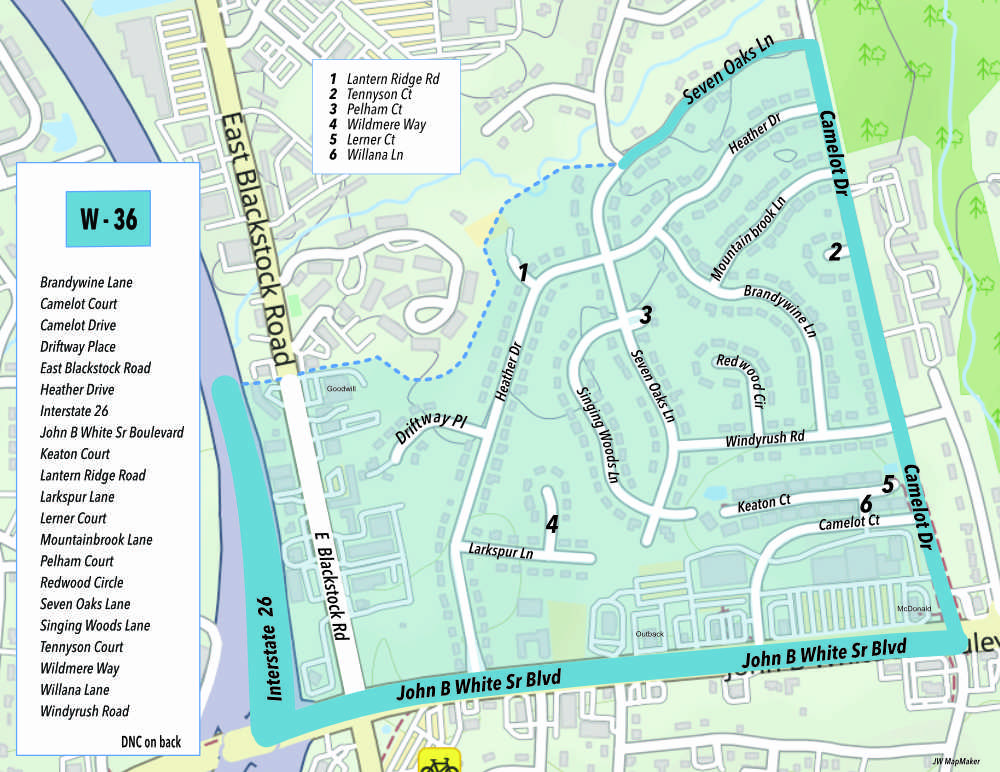
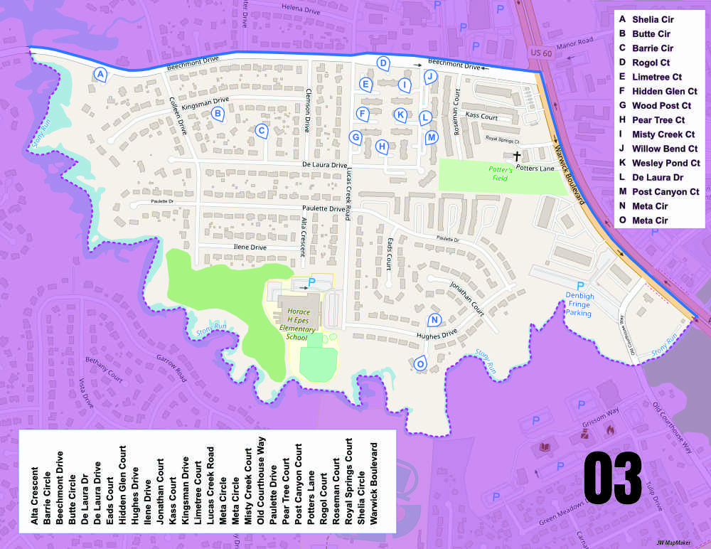
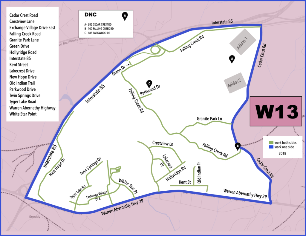
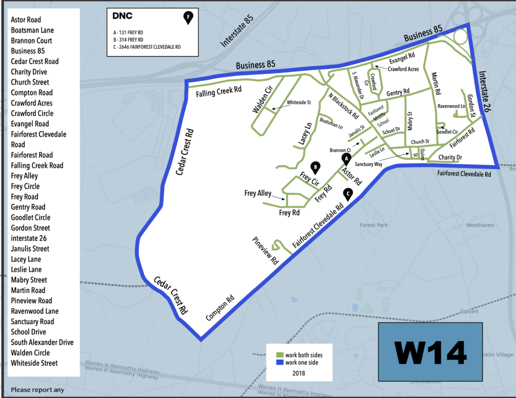
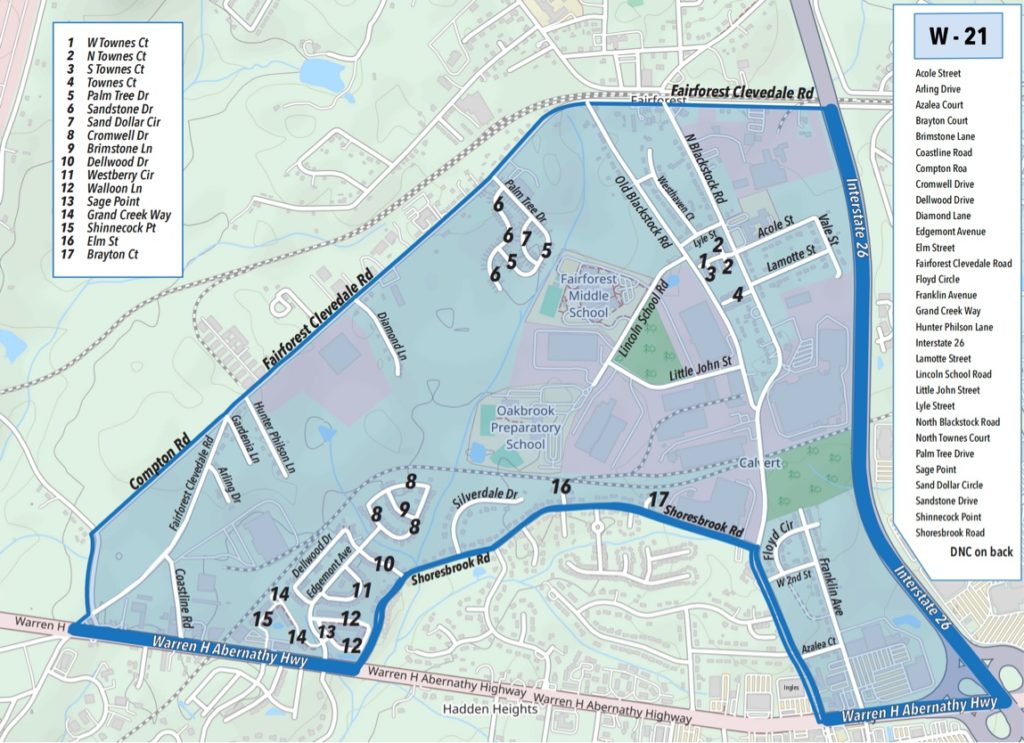
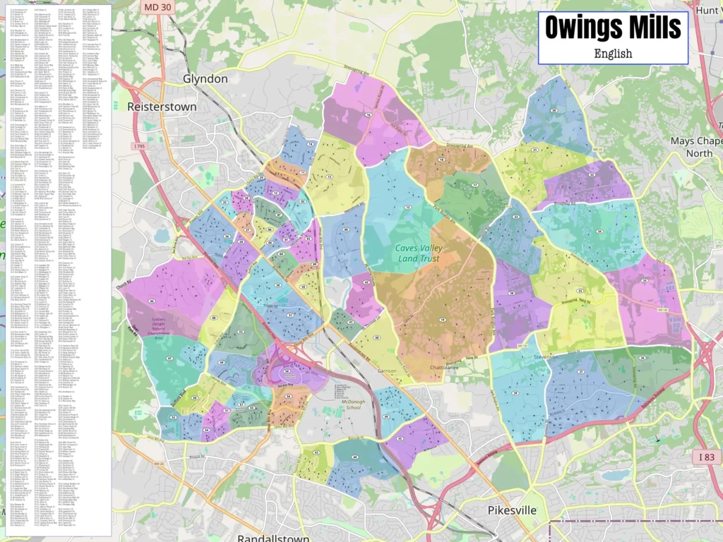
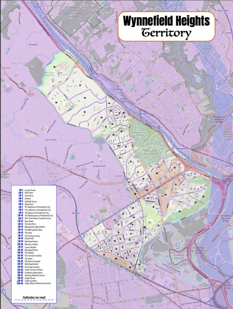
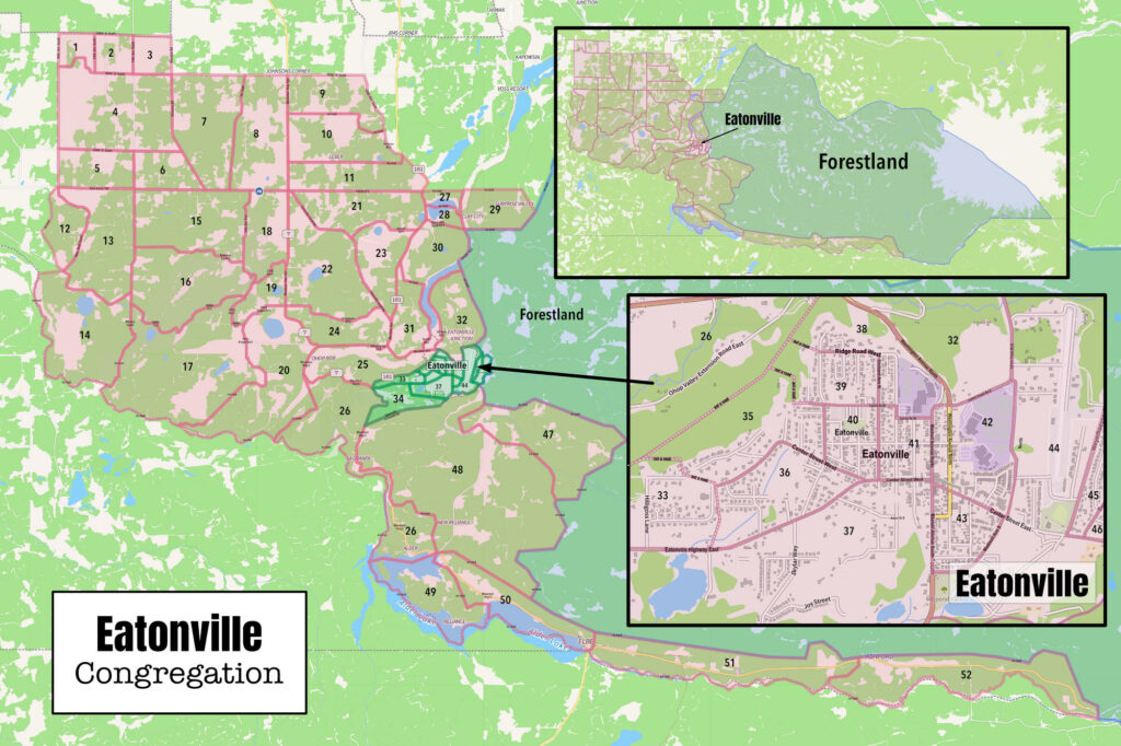
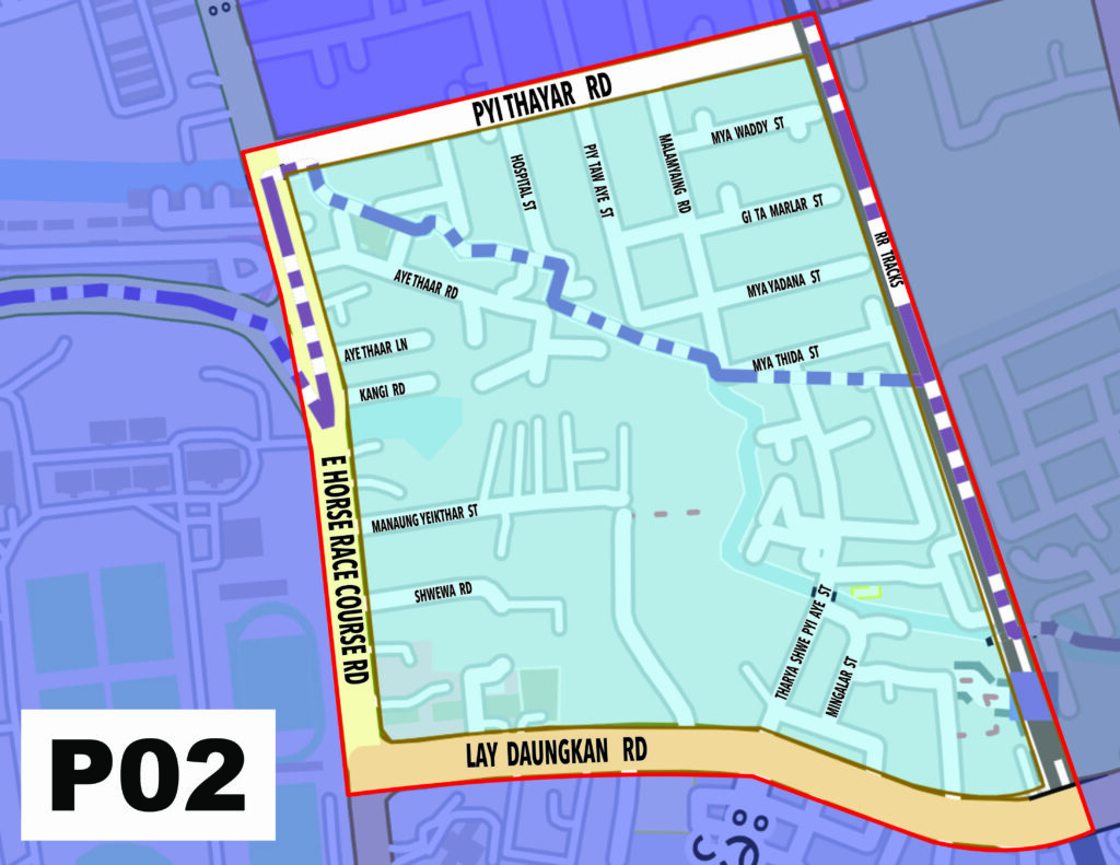
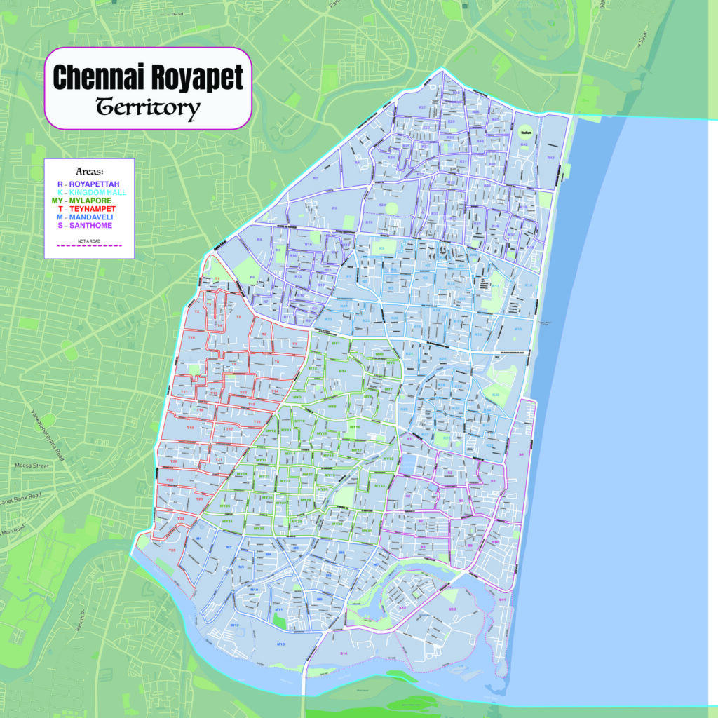
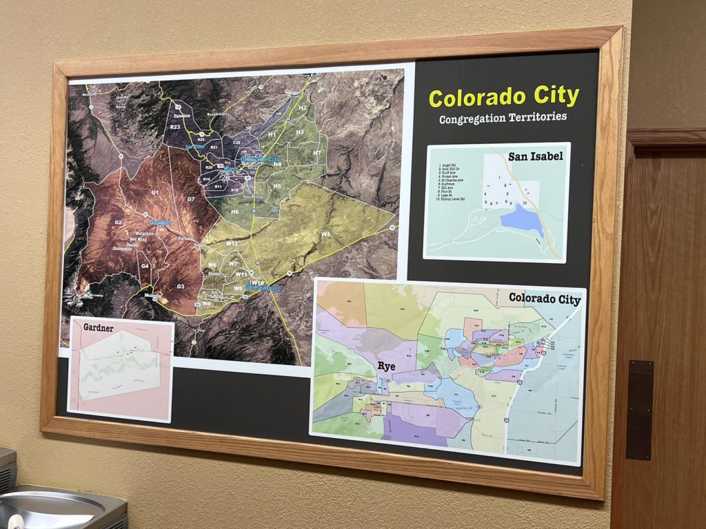
I did some of these digital maps for the local congregations here in South Carolina and other locations. I will produce PDF’s or jpegs for you.
All maps are custom made but I do recommend starting with Territory Helper to form your territories and get an overview of your territory, if you are not using something else. You can import the kml file from the branch. It is very easy for me to work with this program. I am also willing to use whatever program you are currently using.
The images exported can be resized and uploaded into NW Publisher or NW Scheduler to assign territories to publishers and allow them to see the maps. Territory Helper also allows publishers to check out their territories.
